Community Corner
Updated: Look Out for 'Light Freezing Drizzle' in Fridley
'Strong cold front' will follow the rain, National Weather Service warns.

Update (6:45 a.m. Friday): Freezing drizzle will continue in the Fridley area through 9 a.m. Friday, according to the National Weather Service forecast. Then it gets real cold:
UNTREATED ROADS...OVERPASSES AND BRIDGES WILL BE FIRST TO FREEZE. PLEASE DRIVE WITH CAUTION THIS MORNING. A STRONG COLD FRONT WILL MOVE THROUGH THE REGION OVERNIGHT. STRONG SOUTHWEST TO WEST WINDS OF 20 TO 35 MPH WILL DEVELOP AND CREATE WIND CHILLS WELL BELOW ZERO BY SATURDAY MORNING.
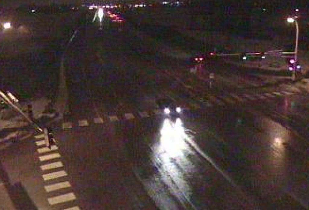
Original post (9 p.m. Thursday): The National Weather Service issued a Freezing Rain Advisory for areas of Minnesota including Fridley. It's in effect until 3 a.m. Friday.
Find out what's happening in Fridleywith free, real-time updates from Patch.
Here is some of what they say to expect and what you can do:
ICE ACCUMULATIONS...UP TO A TENTH OF AN INCH. ... UNTREATED ROADS AND WALKWAYS WILL BECOME SLIPPERY. ICE WILL ACCUMULATE ON VEHICLES LEFT OUTDOORS. PRECAUTIONARY/PREPAREDNESS ACTIONS... A FREEZING RAIN ADVISORY MEANS THAT PERIODS OF FREEZING RAIN OR FREEZING DRIZZLE WILL CAUSE TRAVEL DIFFICULTIES. BE PREPARED FOR SLIPPERY ROADS. SLOW DOWN AND USE CAUTION WHILE DRIVING.
Find out what's happening in Fridleywith free, real-time updates from Patch.
Get more local news delivered straight to your inbox. Sign up for free Patch newsletters and alerts.


